Our study area is broken into five principal subareas where we seek to preserve the natural and cultural heritage of each unique area.
|
Hoosier Pass
Hoosier Pass lies on the Continental Divide, the meandering spine of mountains that separates the Atlantic and Pacific watersheds. For many centuries, Hoosier Pass served as a link between two important Ute hunting grounds–South Park and Middle Park–the heart of the Tribe's mountain domain. Today, the 11,542-foot pass is the gateway from Summit County to the South Park region of central Colorado and the Mosquito Range. From the summit of the pass, visitors enjoy stunning views of the geomorphology and glacial formations of the planning area. Mountain bikers have access to a moderate ride that begins at the top of Hoosier Pass, heads west toward the Magnolia Mine, cuts north descending to Crystal Lake, and back to Hoosier Pass.  Photo By: John Calkins Photo By: John Calkins
Mounts Bross, Lincoln, and Democrat
Rich silver ore was discovered at the 13,860-foot level of Mount Bross in 1871 by Captain Plummer. He called it The Moose Mine. Other discoveries came quickly including The Russia and The Dolly Varden, all in the same general area. As the prospect holes near the top testify, many a claim was staked above 14,000 feet on Mount Democrat. Mount Lincoln was a "mining mountain" from the start. It is pockmarked with prospect holes and catacombed with mines. Millions of dollars in silver, gold, and other metals came from its innards. Surprisingly, a favorite sport of early Colorado miners was mountain climbing, and Mount Lincoln was one of the preferred peaks. In addition to the many fourteeners visible from its summit, some 50 peaks more than 13,000 feet high can be seen. Although all three peaks are private property, MRHI and our partners have worked to obtain legal to Mount Democrat and Mount Lincoln. The summit of Mount Bross remains closed to access due to mining hazard concerns. Please help us keep the access to these peaks and respect private property. Mount Sherman
Mount Sherman is more isolated than most fourteeners, and is also one of the most inconspicuous in appearance and historic interest. With its gentle slopes, especially on the south and east, and its easy access, this remains a popular mountain for family climbing even though it is on private property. A trailhead is located south of Fairplay and eight miles west on Fourmile Creek Road, past the town of Leavick. The route passes Dauntless Mine and goes up to the Sherman Sheridan saddle, then heads northeast up the ridge to the summit of Sherman. The Sacramento Creek Trailhead is on private property and provides an example of the type of potential user conflict the stakeholders wish to mitigate. |
 Photo By: Bruce Metzger Photo By: Bruce Metzger
Mosquito Pass Road
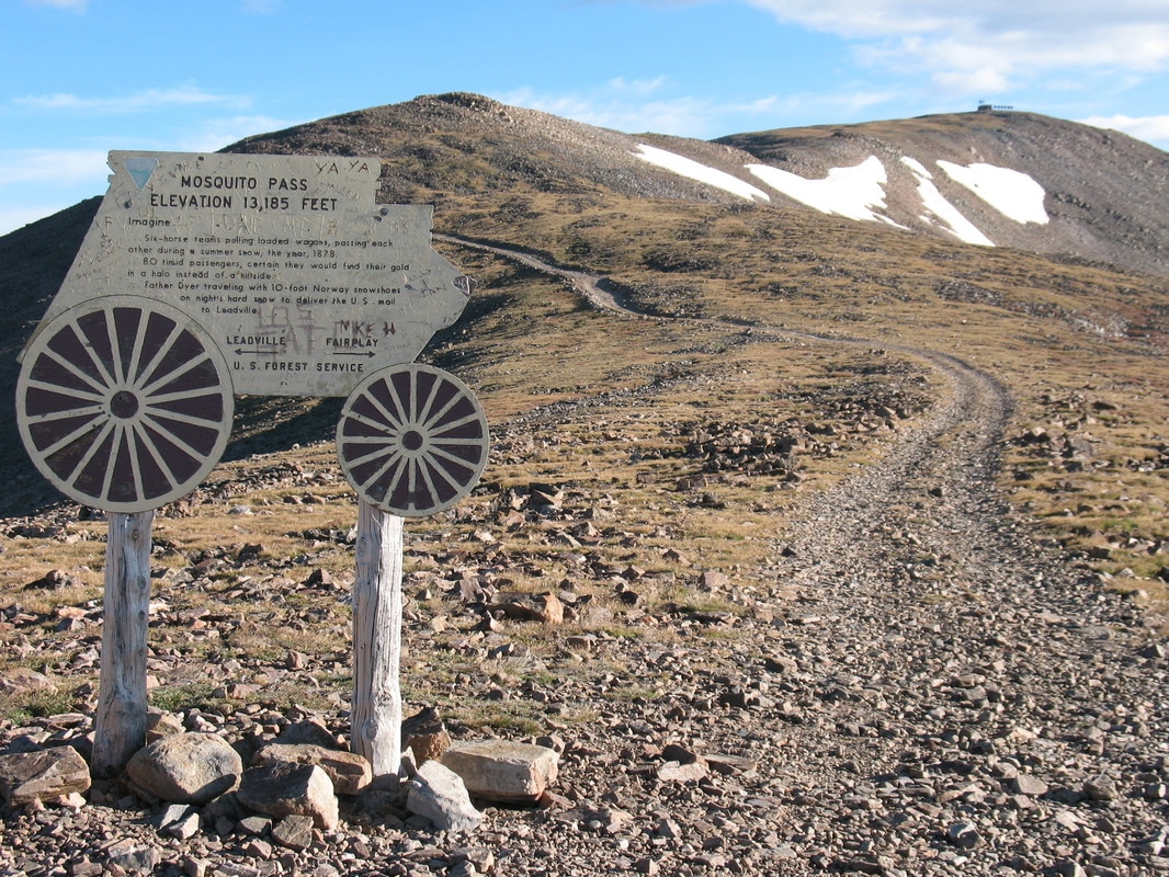
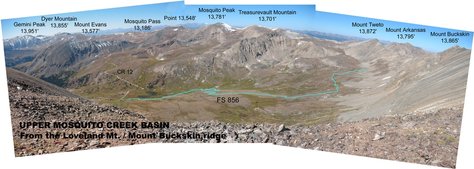
The confluence of Mosquito Creek and the Middle Fork of the South Platte River is also the jumping off point for Mosquito Pass Road, a county-maintained road that parallels Mosquito Creek and traverses the creek corridor. A trip to the highest automobile pass in North America (13,186 feet) provides impressive views of abandoned mines and flora and fauna. Most of the land within the corridor is private, but remnants of the mining heritage are still visible from the road and interpreted through one of Park County’s several auto tours. In 1861, the mining camp of Mosquito thrived on the east side of the pass. Augusta Tabor crossed Mosquito with her husband, Horace Tabor, in 1870 on horseback. She noted there was no road at all and that the way was very steep. A wagon road went across the pass in the early 1870s to accommodate the silver rush. When the Hayden survey party visited in 1873, they found the pass already named and well used, although the route was still difficult. Mosquito Pass had very heavy traffic during the Leadville mining boom days. As the mines played out, the pass fell into disuse and the road was not kept up. Today's travelers include OHV enthusiasts, snowmobilers, skiers and mountain bikers on the lower elevation portions of the trail. Pennsylvania Mountain
Three of Pennsylvania Mountain's four sides are relatively gentle slopes by Colorado standards, and the mountain is one long ridge with a broad, flat summit. The 13,006-foot summit provides unique views of much of the surrounding Mosquito Range. In 1990, a famous 8-ounce nugget of gold was found on the slopes of Pennsylvania Mountain, which is known for its heavy mining activity. This nugget was dubbed “The Turtle Nugget.” |
Background Photo By: Erica Henderson

