Stream Corridors ~ Essential to our Heritage
|
Middle Fork of the South Platte River—Montgomery Reservoir to Wheeler Lake
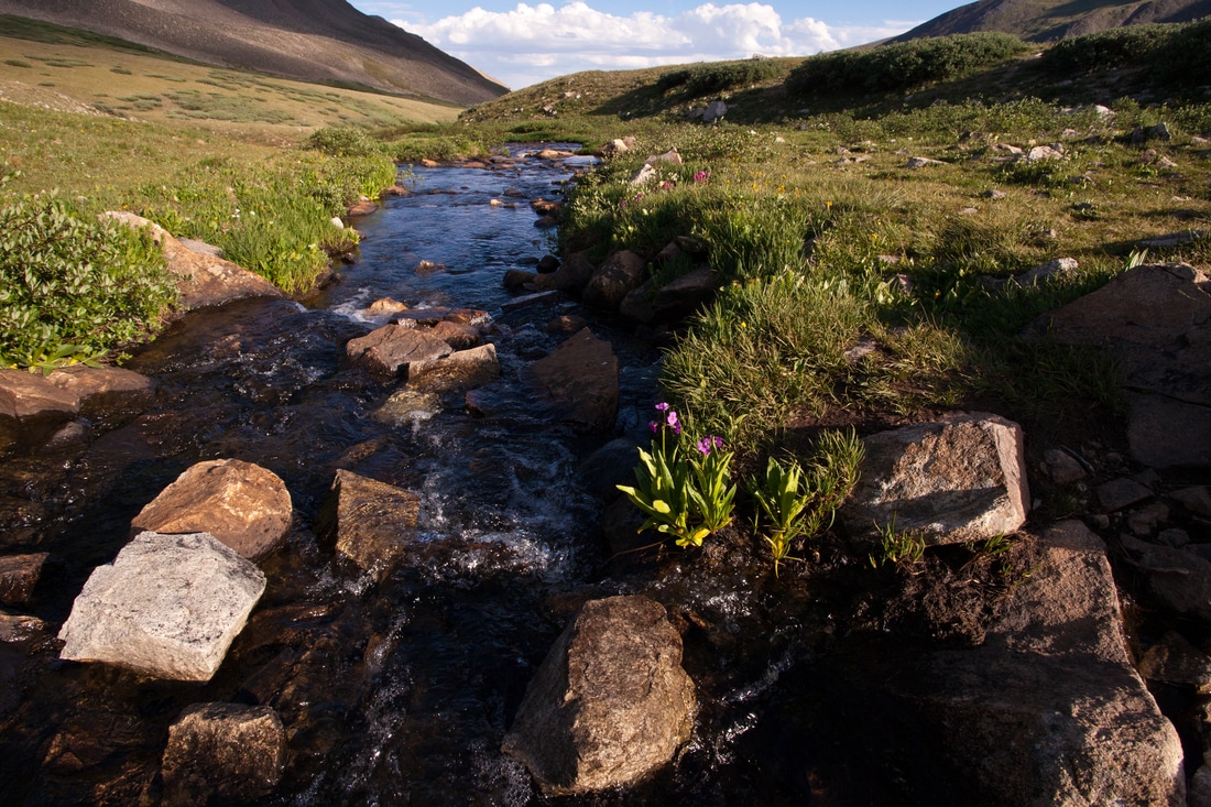
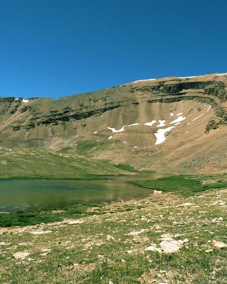
The source of the Middle Fork of the South Platte River sits high in the planning area above 12,000 feet at Wheeler Lake and then flows into Montgomery Reservoir. Montgomery was founded in August 1861, two years after gold was discovered in the area. By 1862, Montgomery had 150 cabins, five sawmills, three hotels and the largest dancehall in the region. In the 1950s, the City of Colorado Springs began construction of Montgomery Reservoir and the remains of Montgomery were flooded. Today, Montgomery Reservoir above Alma stores water for Colorado Springs. Significant efforts by Colorado Springs Utilities have helped ensure that Montgomery Reservoir is accessible to the public for outdoor recreation such as hiking and fishing. In addition, the path to Wheeler Lake is both a challenging and popular OHV route. Dispersed camping and trespassing on private property are two major issues the MRHI stakeholders seek to address within this corridor. Sacramento Creek
The Sacramento Creek valley includes portions of two spectacular drainages on the east slope of the Mosquito Range. The wide willow carrs in the valley bottoms are in good to excellent condition, and support occurrences of the globally imperiled Porter feathergrass, which is known only from a very narrow range in the Southern Rocky Mountains in the vicinity of South Park. Engelmann spruce forests with small patches of native grasslands dominate the upland portions of the Sacramento Creek valley. The valley includes a mix of privately and publicly owned lands. The South Park Ranger District manages most of the public lands; the Bureau of Land Management manages a small area. Special designation on public lands and incentives such as conservation easements on private lands would likely benefit the long-term protection of this area. Middle Fork of the South Platte River—Fairplay to Alma
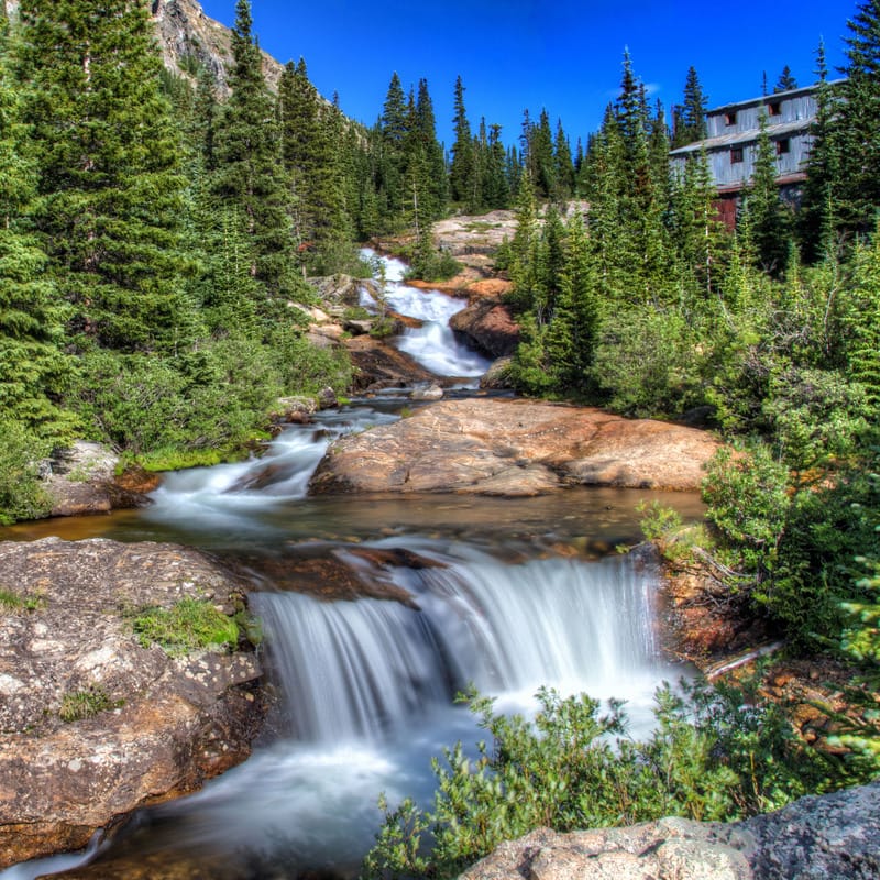
From County Road 12 downstream to County Road 1, the Middle Fork of the South Platte River is characteristic of both the heritage and challenges in the planning area. This portion of the river corridor encompasses primarily private residential property. In recent years, numerous additional residential homes have been constructed along the river. This development poses water quality concerns through sedimentation and sewage system effluent to the river and associated wetlands. Within this matrix of private land, one can find the Snowstorm Dredge, the last intact gold dredge in Colorado and possibly in the nation. In 2001, Colorado Preservation, Inc. added the dredge to its Colorado's Most Endangered Places List. |
Buckskin Creek
Buckskin Creek joins with the Middle Fork of the South Platte River near Alma. The Town of Alma was established in 1873 at the junction of the Middle Fork of the South Platte River and Buckskin Creek, a location essential to its success. Alma was lower in elevation than other towns such as Quartzville, Montgomery, or Dudley, yet close enough to the mines to attract the construction of smelters. A mass exodus from Alma during 1879 to Leadville's silver boom left a quarter of the buildings vacant; however, many new silver ore discoveries were made up Buckskin Creek, resulting in the return of many of the town's residents. Numerous abandoned mines exist on federal and private lands in the Buckskin Creek drainage. A popular route for climbing Mounts Cameron, Democrat, and Lincoln in one day starts from Buckskin Gulch. Fourmile Creek and Southern Planning Area
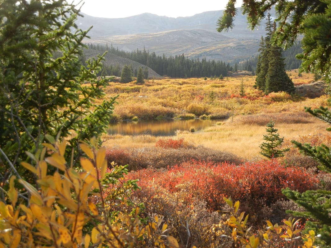
Fourmile Creek crosses the planning area in the south, flowing from the mountains through the Town of Leavick and into the subalpine valley below. The creek emerges from a coniferous forest then spreads out into a large area of beaver ponds and willow stands. Although a relatively short segment of Fourmile Creek exists within the planning area, it provides an important wildlife migration corridor from the Mosquito Range to South Park and supports several rich fen areas. Hiking, mountain biking, and OHV use of National Forest lands south of Fourmile Creek in the Browns Pass area has increased in recent years, because of the proximity to Fairplay and rapidly developing subdivisions. County Road 18 within the corridor provides access to Mount Sherman, one of the easiest fourteeners to climb. The road passes right by the only remaining structure at Leavick, the Hilltop Mill. Above Leavick, the driveable road ends at the Dauntless Tunnel. The hike up Sherman begins by following the old mine road up to Hilltop Mine at 12,900 feet. The Hilltop Mine produced over $600,000 in silver ore in 1888. In the spring of 1897, the mill still standing at Leavick was built. An incredible 13,000-foot-long aerial tram once brought ore down to the mill. |
Background Photo By: Brian Roach
